Data Products
The SE FireMap Datasets
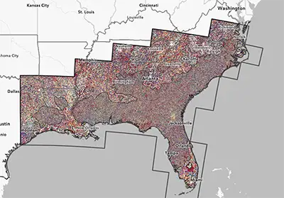
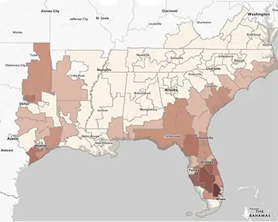
 Tall Timbers developed the SE FireMap (SEFM) in collaboration with the U.S. Geological Survey (USGS) in order to track trends in burned area across the southeastern United States using a methodology applied consistently across public and private lands. Two parallel product lines are offered in the online viewer: Landsat (LS) derived products that span from 1994 through 2024 but have a coarser temporal resolution, and Harmonized Landsat Sentinel - 2 (HLS) derived products that only date back to 2015, but have improved detection rates due to finer temporal resolution. The HLS products are considered in development and are not available for download at this time.
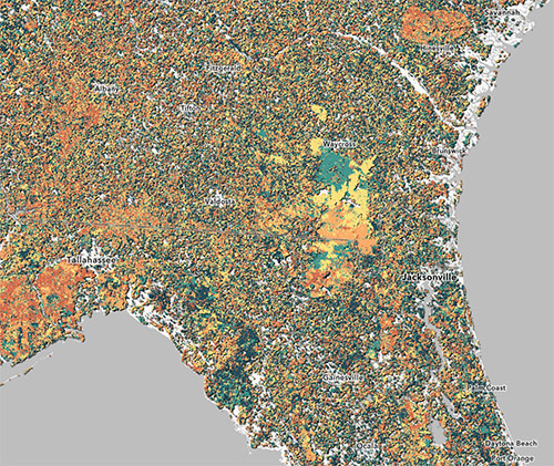
The Landat Southeast FireMap products are derived from the USGS’s Landsat Burned Area product, which provides burn probability (BP) data from satellite imagery collected every 8 to 16 days at 30-meter resolution. Tall Timbers aggregated the maximum burn probability for each pixel within each year and applied a 90% threshold to identify likely burned areas, resulting in annual burned area rasters. To reduce noise and improve accuracy, the rasters were filtered and sieved by removing small detections under 2.22 acres (10 pixels) and applying a 3x3 majority filter. The resulting annual burned area rasters were also converted to polygon layers and enriched with land cover and burn date attribute information. Finally, fire history metrics were calculated from the annual burned area rasters in order to characterize fire patterns with four simple metrics that can be used in lieu of the entire time series.
SE FireMap ArcGIS Online
The SE FireMap data is available here on ArcGis Online.
SE FireMap Data and Methodology Code Book
A review of the data and the methodology used to create the data used in the SE Firemap.
Read moreSE FireMap Technical Documentation Video Series
This video series provides an in-depth look at the technical process behind the creation of the SE FireMap.
Read moreKnown Limitations & Considerations for Users
The Landsat Southeast FireMap products are based on 30-meter resolution satellite imagery and have known limitations common to remotely sensed fire products. In some cases, known fires may not be detected, while in others, areas may be mapped as burned where no fire occurred or where fires were incomplete or low severity (Vanderhoof et al. 2017). These discrepancies may result from several factors, including rapid changes in land cover in agricultural and developed areas, which complicate the ability to distinguish fire-related changes from other disturbances.
High soil moisture can also interfere with detection—wet soils appear darker and may be misclassified as burned, while fires in moist conditions may be patchy and less visible (Flasse et al. 2004).
Additional limitations include:
- Rapid vegetation green-up following a fire, which reduces the burn signal.
- Cloud cover and shadows obscuring or mimicking burn areas.
- Difficulty detecting low-intensity fires beneath dense tree canopies.
- The 30-meter resolution may miss small or fine-scale burns (Hawbaker et al. 2008, 2017).
SE FireMap Data Products Available for Download Here:
Southeast FireMap Landsat Annual Burned Area Products (1994-2024) - Polygons
- File Name: SEFM_LS_ABA_1994_2024_polys.gdb
- Description: Contains annual burned area (ABA) feature layers representing burn detections.
Southeast FireMap Landsat Annual Burned Area Products (1994-2024) - Rasters
- File Name: SEFM_LS_ABA_1994_2024_rasters .gdb
- Description: Contains annual burned area (ABA) raster layers representing burn detections and data masks for any given year.
Southeast FireMap Landsat Fire History Metrics (1994-2024)
- File Name: SEFM_LS_FHM_1994_2024.gdb
- Description: Contains four raster layers representing fire history metrics (FHM) throughout the time series.

Important User Notes:
- Fire History Metrics (FHMs) are designed to complement, not replace, locally maintained fire records.
- The minimum detectable fire size is approximately 2.45 acres (11 contiguous 30-meter pixels), making the product most appropriate for regional or sub-regional assessments.
- This dataset may not be suitable for detailed site-level decision-making but can offer valuable insights into general fire regime patterns on both public and private lands.

Past Release Schedule of SE FireMap Data Products
Archived Data Available Here
March 2025:
-
Landsat Annual Burned Area products and 1994 – 2022 fire history metrics
-
HLS Annual Burned Area products and 2015 – 2024 fire history metrics
March 2024:
-
Landsat Annual Burned Area products and 1994 – 2023 fire history metrics
-
HLS Annual Burned Area products and 2015 – 2023 fire history metrics (viewer only)
March 2023:
-
Landsat Burned Area products and 1984 – 2022 fire history metrics
-
Harmonized Landsat Sentinel - 2 Burned Area products and 2015 – 2022 fire history metrics (viewer only)


