Southeast (SE) FireMap
by
Web Editor
—
last modified
Dec 02, 2025 11:34 AM
Welcome to the Southeast FireMap
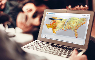
Fire is a critical part of landscapes across the southeastern U.S., but until now it has been hard to map fires and monitor their effects. The Southeast (SE) FireMap addresses this gap by helping users accurately track and understand fire patterns across the Southeast.
Decision Support Tool
SE FireMap Viewer 2.0
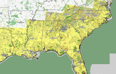
Explore detectable fires, including prescribed burns and wildfires, across thirteen states in the southeastern United States.
The SE FireMap Story
Scroll within this section to learn about the development of the SE FireMap

Resources
Webinars, Factsheets, Training Modules, Publications, Webinars and Workshops
View Resources →
News
Read about recent developments about the SE FireMap project and remote sensing initiatives
See All News →


